Dataset
1021 Atlantic
Geography
Atlantic OceanDate Range
2019-05-25 to 2019-10-22License
Citation
https://data.saildrone.com/id/2131
Latitude
32.3 to 50.76Longitude
-1.25 to -71.36Related Links
- Overview
- Variables (30)
- Data Access
Platform
Platform IDs
Summary
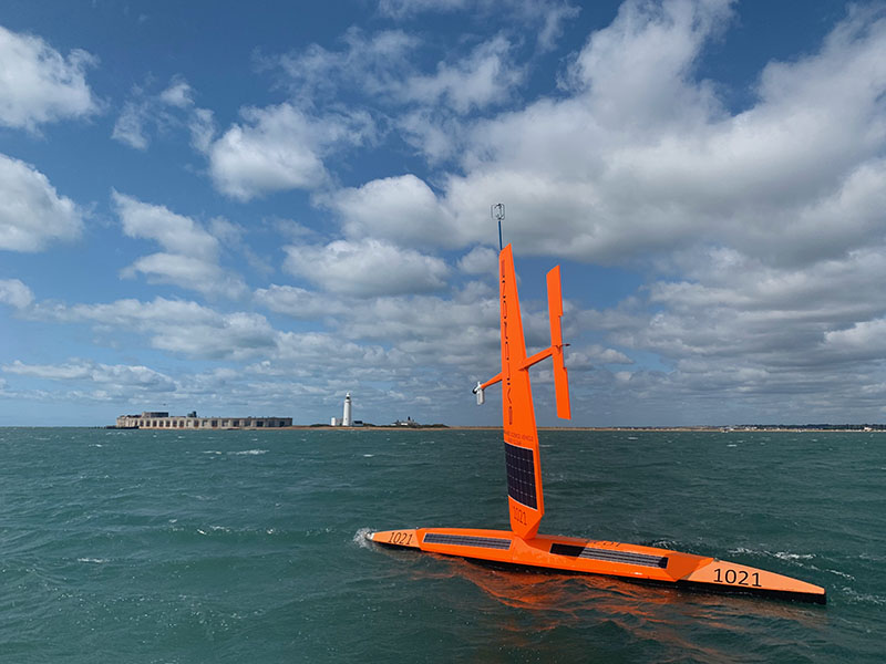
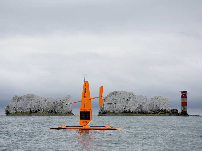
This data set was collected during the first Saildrone Atlantic crossing, from Bermuda to Lymington, UK, and the return trip from the UK to Newport, RI, between May 25, 2019, and October 22, 2019.
One Saildrone unmanned surface vehicle (USV), SD 1021, was equipped with a 300 kHz ADCP in addition to the standard Saildrone sensor suite.
SD 1021 set the record for the fastest Atlantic crossing from west to east, sailing from Bermuda in 75 days, setting a record for the fastest unmanned Atlantic crossing. The return westbound trip was the first ever by an autonomous vehicle; SD 1021 is also the first autonomous vehicle of any kind to complete the round-trip passage.
The scientific objectives for SD 1021 during the Atlantic crossing included studying current strength and direction in the North Atlantic, as well as taking oceanographic and meteorological measurements related to climate science.
This data set contains Saildrone platform telemetry and near-surface observational data at 1-minute to 1-day resolution in NetCDF format, and ADCP current data binned temporally at 5 minute resolution.
Spatial Coverage
Longitude -1.25 to -71.36
License Terms
Images