Dataset
2018 White Shark Cafe Ecosystem Survey Surface Data
Geography
Pacific Ocean, North Pacific Subtropical GyreDate Range
2018-03-15 to 2018-06-17License
Citation
https://data.saildrone.com/id/2084
Latitude
19.97 to 37.76Longitude
-132.56 to -122.6Related Links
- Overview
- Variables (26)
- Data Access
Platform
Platform IDs
Summary
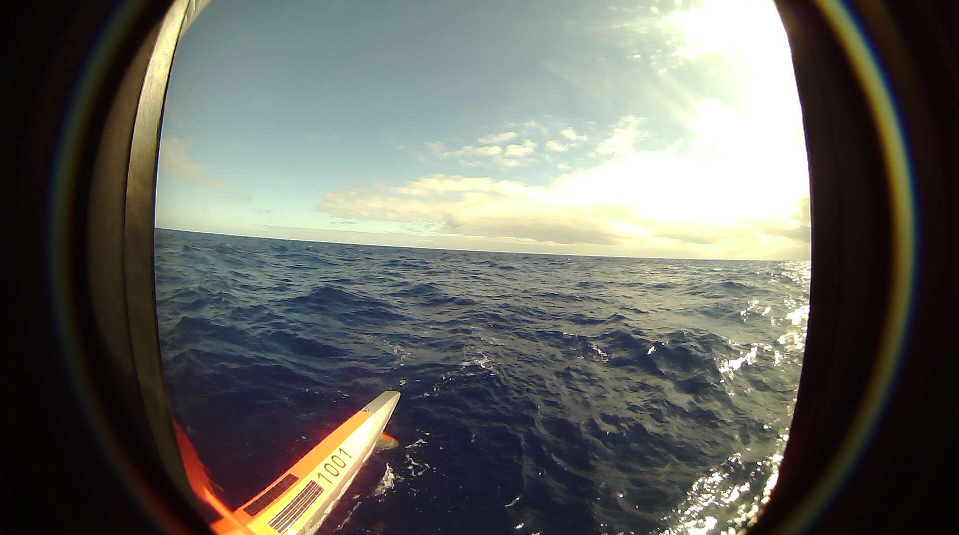
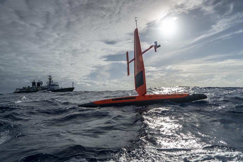
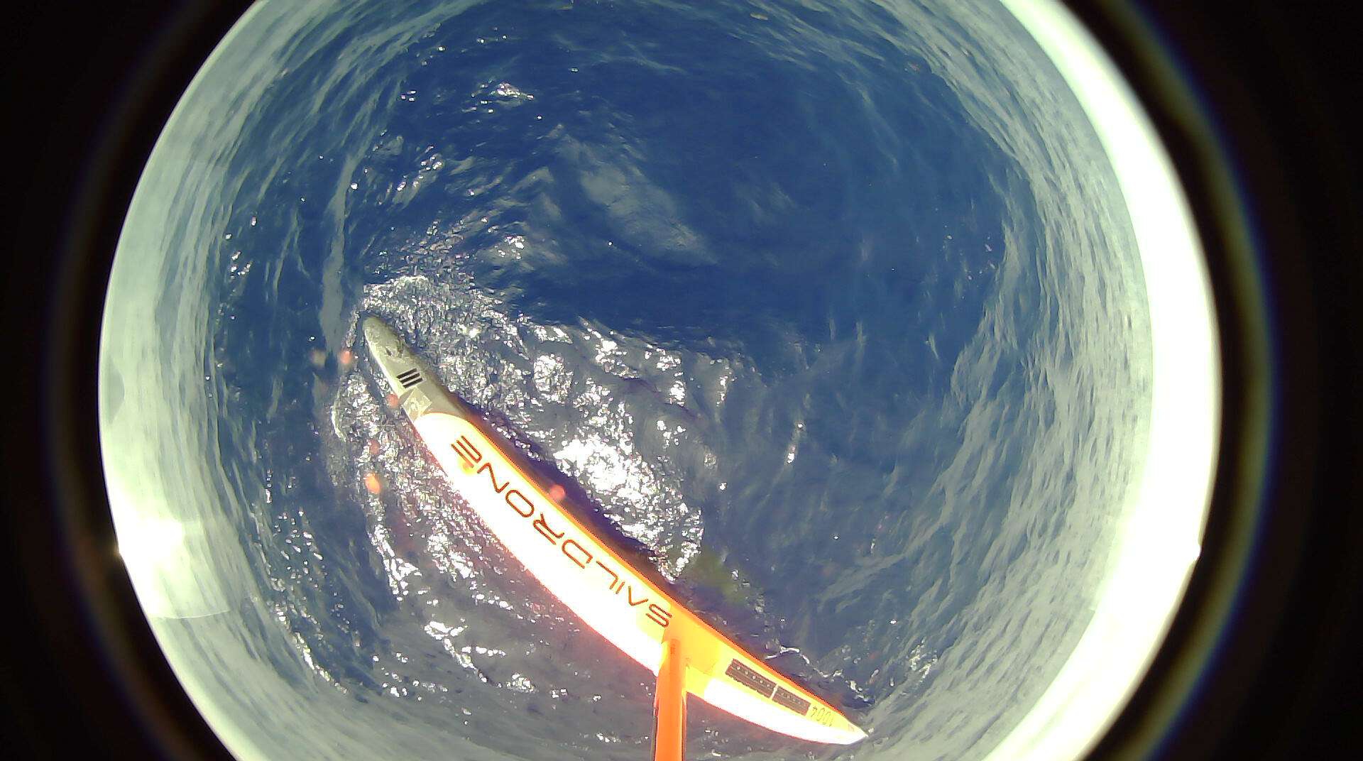
The white shark is among the most iconic predators in the ocean, but for all their public exposure, the lives of white sharks remain shrouded in mystery. In 2018, two saildrones tracked tagged white sharks with the goal of shedding some light on a long-standing question around their migratory habits. Why do white sharks regularly congregate in a seemingly inhospitable part of the ocean?
These apex predators are facing an unprecedented worldwide threat from climate change and overexploitation—white sharks are a source of protein for humans across the planet. Critical to protection of apex predators is understanding the oceanic habitats they occupy.
Oceanic ecosystems, from genes to whole organisms and the biogeochemical processes driving their productivity and connectivity, are not well understood. This Saildrone mission, conducted in partnership with Dr. Barbara Block of Stanford University and the Schmidt Ocean Institute, explored the North Pacific Subtropical Gyre (NPSG).
Satellite tagging has revealed that white sharks tagged in the coastal waters of California migrate annually to a region called the “White Shark Café,” a virtually unknown area situated in the NPSG halfway between Hawaii and Baja. Why these apex predators leave the productive California coast and migrate offshore, spending months in an oceanic desert, was a mystery.
The Saildrone cruise was part of a multidisciplinary team of oceanographers, engineers, marine ecologists, and molecular biologists from four institutions, accompanied by a film team, on an expedition to the Café, including the RV Falkor, who shared a common goal in describing the oceanographic environment and the epi- and mesopelagic ecosystems of the Café, and to locate tagged white sharks and investigate their behaviors in situ to learn why these offshore waters are vital to their life history.
Spatial Coverage
Longitude -132.56 to -122.6
License Terms
Images
2019-04-08T16:52:36.000Z
2018-04-29
2019-05-13T22:00:30.000Z