Dataset
2017 Tropical Pacific Observing System (TPOS) Mission
Geography
Eastern Tropical PacificDate Range
2017-09-01 to 2018-05-06License
Citation
https://data.saildrone.com/id/2035 Mission")
Latitude
-3.81 to 37.82Longitude
-120.72 to -143.2Related Links
- Overview
- Variables (34)
- Data Access
Platform
Platform IDs
Summary
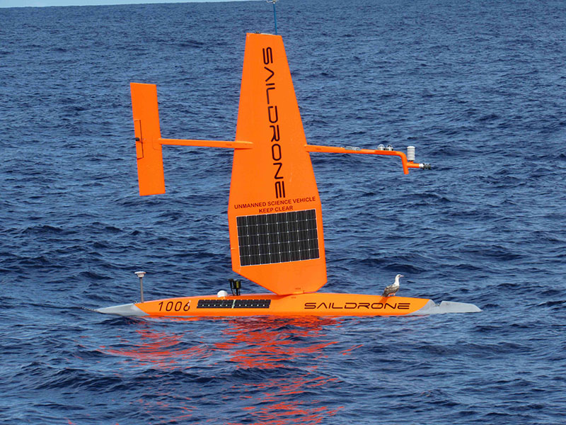
On September 1, 2017, two Gen 4 saildrones (SD 1005 and SD 1006) were deployed out of Alameda, CA, for a mission in the Equatorial Pacific. The 2017 TPOS Mission was the first of three missions funded by the NOAA Office of Oceanic and Atmospheric Research (OAR)/CPO/GOMO and NOAA/OMAO as a pilot study for the Tropical Pacific Observing System (TPOS)-2020 project. Each of the vehicles was equipped with a full atmospheric and ocean core sensor suite, plus an Acoustic Doppler Current Profiler (ADCP) and an ASVCO2 carbon flux and pH system.
After sailing near the CCE1 mooring off the coast of California, the saildrones proceeded to the area near 10°N, 125°W. They remained in the area October 18 – November 13 to participate in the Salinity Processes in the Upper Ocean Regional Study (SPURS)-2 field study, which included side-by-side data acquisition with a Woods Hole Oceanographic Institution (WHOI) buoy, and the RV Revelle.
At the conclusion of SPURS-2, the saildrones sailed south on either side of 125°W, stopping for comparison measurements with the Tropical Atmosphere/Ocean (TAO) moorings at 8°N, 5°N, and 2°N. After crossing the equator, the vehicles returned to California. SD 1005 was recovered in San Luis Obispo Bay on May 6, 2018. SD 1006 was recovered from San Francisco Bay on May 18, 2018.
The mission’s principal investigators were Meghan Cronin (NOAA’s Pacific Marine Environmental Laboratory [PMEL]), Dongxiao Zhang (UW Joint Institue for the Study of Atmosphere and Ocean [JISAO]), Adrienne Sutton (NOAA PMEL), and Christian Meinig (NOAA PMEL). Nathan Anderson contributed to the metadata creation.
This dataset is hosted by NOAA PMEL and contains the delay-mode data from the saildrone core sensors during the 2017 TPOS mission. These data have not been quality controlled. ADCP and carbon data is not included.
Spatial Coverage
Longitude -120.72 to -143.2
License Terms
Images