Dataset
2017 Arctic Mission
Geography
US ArcticDate Range
2017-07-17 to 2017-09-29License
Citation
https://data.saildrone.com/id/2025
Latitude
53.76 to 75.03Longitude
-173.7 to -155.07Related Links
- Overview
- Variables (12)
- Data Access
Platform
Platform IDs
Summary
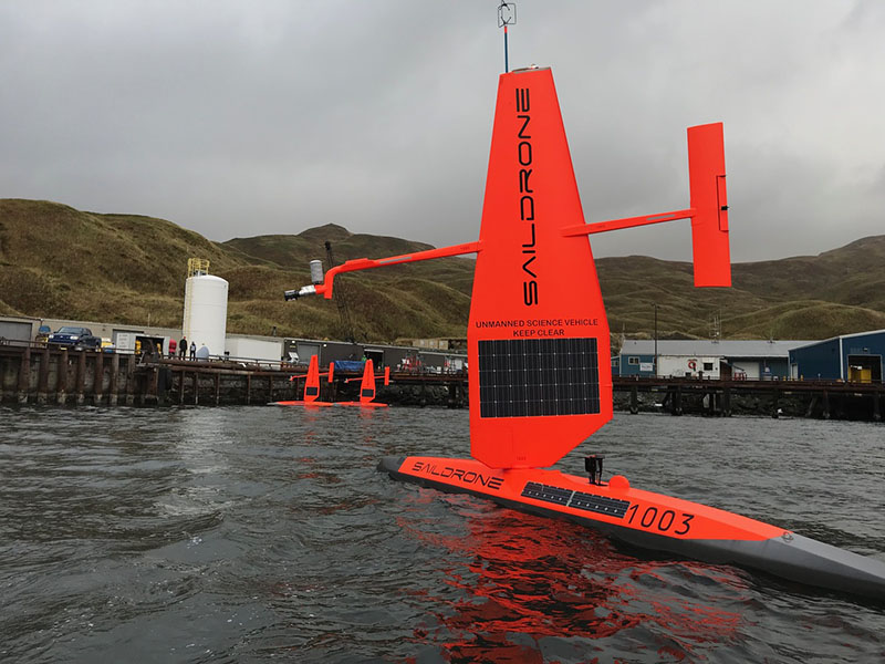
In July 2017, three saildrones were launched from Dutch Harbor, Alaska, in partnership with NOAA Research and NOAA Fisheries’ Alaska Fisheries Science Center (AFSC). Two of the vehicles, equipped with a newly adapted system to measure CO2 concentrations, sailed north through the Bering Sea into the Chukchi Sea; the third vehicle, equipped with an echo sounder, remained in the Bering Sea surveying walleye pollock, northern fur seals, and the elusive North Pacific right whale.
AFSC researchers attached video cameras on northern fur seals to record their feeding behavior and verify the species and sizes of fish the fur seals are eating, which was combined with the saildrone data to better understand this declining population.
The saildrones spent three months in the US Arctic reaching 75°N before returning to Dutch Harbor for retrieval. They sailed more than 7,775 nautical miles combined.
This dataset is hosted by NOAA PMEL and contains a subset of atmospheric and oceanographic variables from the mission.
Spatial Coverage
Longitude -173.7 to -155.07
License Terms
Images