Dataset
2018 Tropical Pacific Observing System (TPOS) Mission
Geography
Central Equatorial PacificDate Range
2018-10-03 to 2018-12-23License
Citation
https://data.saildrone.com/id/2097 Mission")
Latitude
-1.15 to 22.8Longitude
-163.16 to -139.07Related Links
- Overview
- Variables (51)
- Data Access
Platform
Platform IDs
Summary
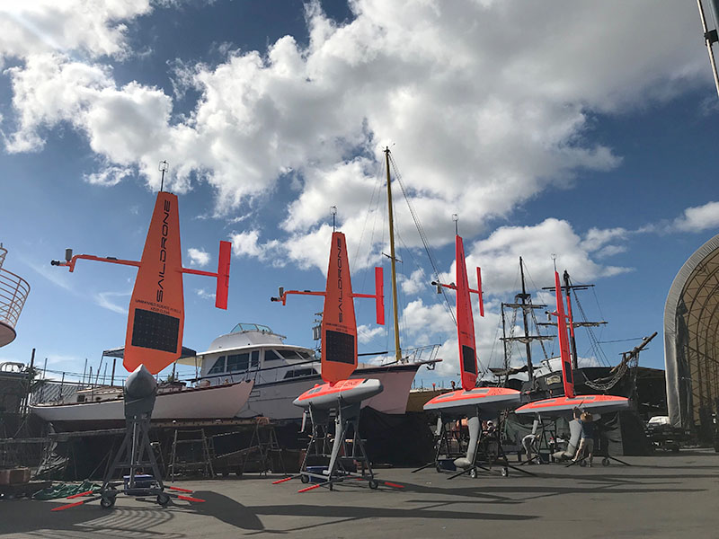
On October 2, 2018, two Gen 4 saildrones (SD 1005, SD 1006) and two Gen 5 saildrones (SD 1029, SD 1030) were deployed from Honolulu, HI, for a mission in the Equatorial Pacific. The 2018 TPOS Mission was the second of three missions funded by the NOAA Office of Oceanic and Atmospheric Research (OAR)/CPO/GOMO and NOAA/OMAO as a pilot study for the Tropical Pacific Observing System (TPOS)-2020 project.
The Gen 5 saildrones were equipped with a larger wing designed for work near the equator. All saildrones carried a standard Saildrone sensor suite as well as an Acoustic Doppler Current Profiler (ADCP). SD 1029 and SD 1030 also carried shortwave and longwave radiation sensors and an ASVCO2 carbon flux and pH system. SD 1029 also had three strap-on SBE56 temperature sensors (at 0.35m, 1.16m, and 1.72m) to study the near-surface stratification. For the Gen5 vehicles, the core conductivity, temperature, depth (CTD) sensor was an RBR located in the flowthrough tunnel in the keel. The carbon system also had an independent prawler CTD that is of higher quality than the RBR.
After sailing near a NOAA Pacific Marine Environmental Laboratory (PMEL) carbon mooring in Kaneohe Bay, HI, the vehicles proceeded to the Tropical Atmosphere/Ocean (TAO) mooring at 9°N, 140°W. Three vehicles completed a circuit around the mooring and then began their transit south towards the equator.
Two vehicles made it to the equator and sailed near the TAO moorings at 0°, 140°W. Navigation issues caused the mission to be aborted early (mid-December 2018), before further science tasks could be completed. Three saildrones were recovered in Honolulu on January 27, 2019. SD 1030 was recovered in Hawaii in the spring of 2019.
The principal investigators were Meghan Cronin (NOAA PMEL), Dongxiao Zhang (UW Joint Institute for the Study of Atmosphere and Ocean (JISAO)), Adrienne Sutton (NOAA PMEL), and Christian Meinig (NOAA PMEL). Nathan Anderson contributed to the metadata creation.
This dataset is hosted by NOAA PMEL and contains the delay-mode data from the saildrone core sensors during the 2019 TPOS mission. These data have not been quality controlled. ADCP and carbon data is not included.
Spatial Coverage
Longitude -163.16 to -139.07
License Terms
Images