Dataset
2018 Baja California Mission
Geography
Pacific Ocean, Baja California CoastDate Range
2018-04-11 to 2018-06-11License
Citation
https://data.saildrone.com/id/2083
Latitude
28.02 to 37.82Longitude
-125.55 to -115.52Related Links
- Overview
- Variables (28)
- Data Access
Platform
Platform IDs
Summary
In the summer of 2018, a Saildrone unmanned surface vehicle (USV) was launched in San Francisco to follow a course south along the US/Mexico coast toward Guadalupe Island. A coalition of 23 scientists involved in 17 projects tracked the saildrone across the highly variable California Current System with two main areas of focus: To assess the utility of Saildrone measurements for satellite sea surface temperature (SST) validation and model assimilation, and to study air-sea heat flux along dynamic frontal regions using Saildrone’s core payload of sensors and an Acoustic Doppler Current Profiler (ADCP).
The 60-day Baja Campaign cruise was the first time the Saildrone USV platform was used in comparison studies with a satellite. The Suomi NPP satellite is equipped with a Visible Infrared Imaging Radiometer Suite (VIIRS) and provides operation data for use in global weather and climate models. The goal of this mission was to perform a three-way comparison between data collected from a Saildrone USV, the satellite, and moored buoys and research vessels along the track in a region known for complex air-land-sea dynamics.
Using a saildrone alongside existing observation platforms has the possibility of addressing gaps in spatio-temporal data collection and analysis, particularly in geographies with highly variable sea surface temperatures and upwelling. Additionally, the data collected from this mission works toward advancing research into upwelling dynamics, air-sea fluxes, and ocean fronts in an economically important part of the ocean.
Spatial Coverage
Longitude -125.55 to -115.52
License Terms
Images
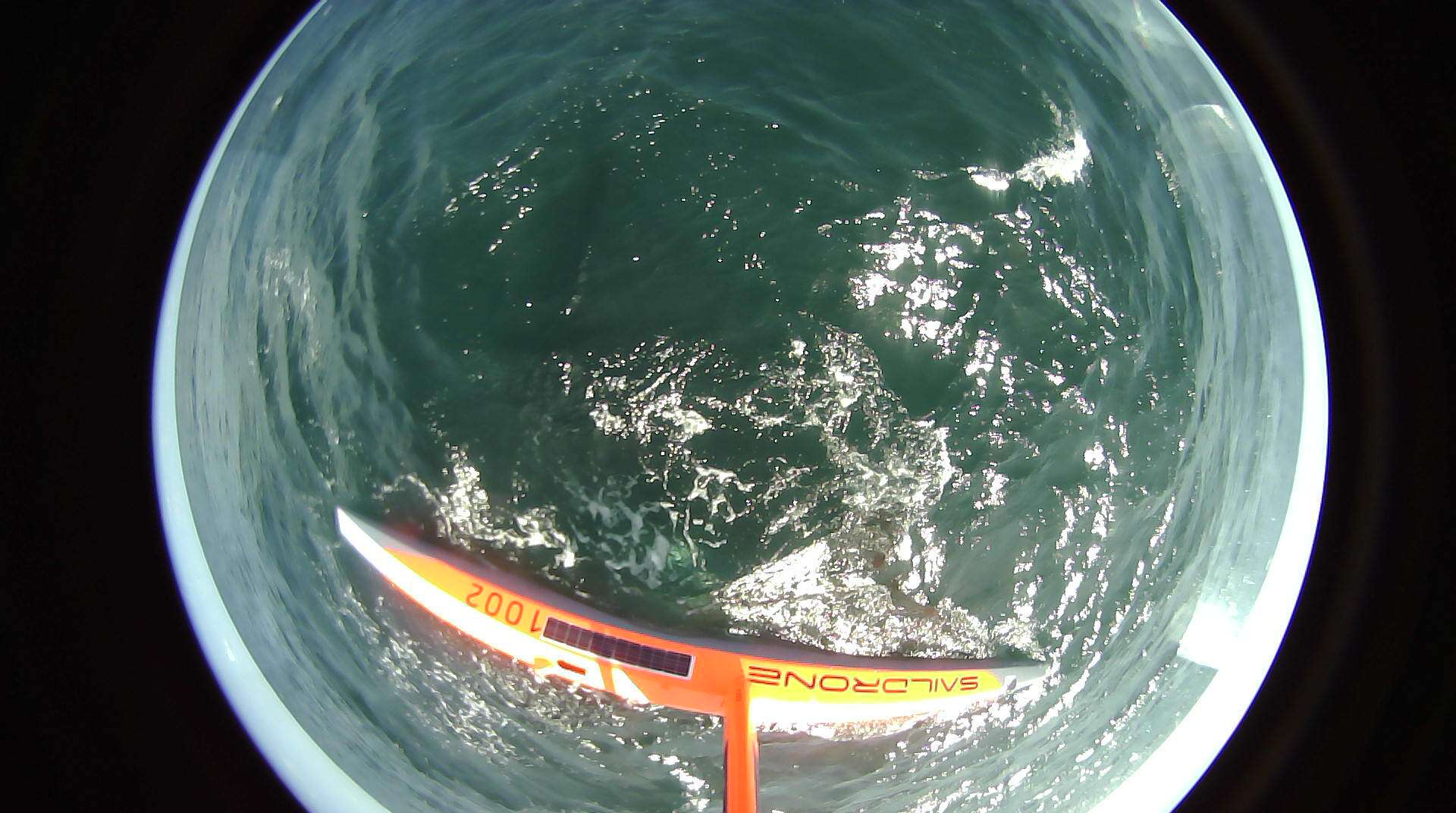
2018-04-12T18:54:43.000Z
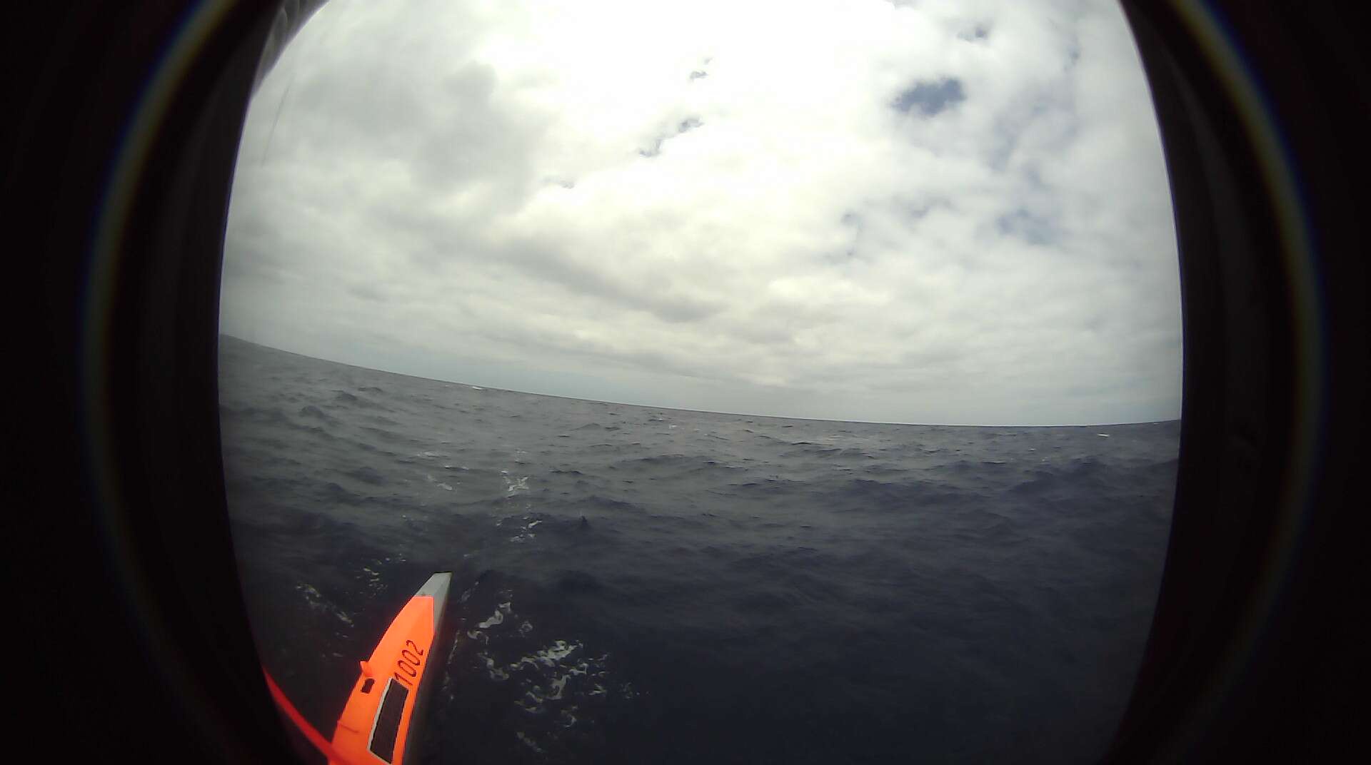
2018-04-27T18:55:03.000Z
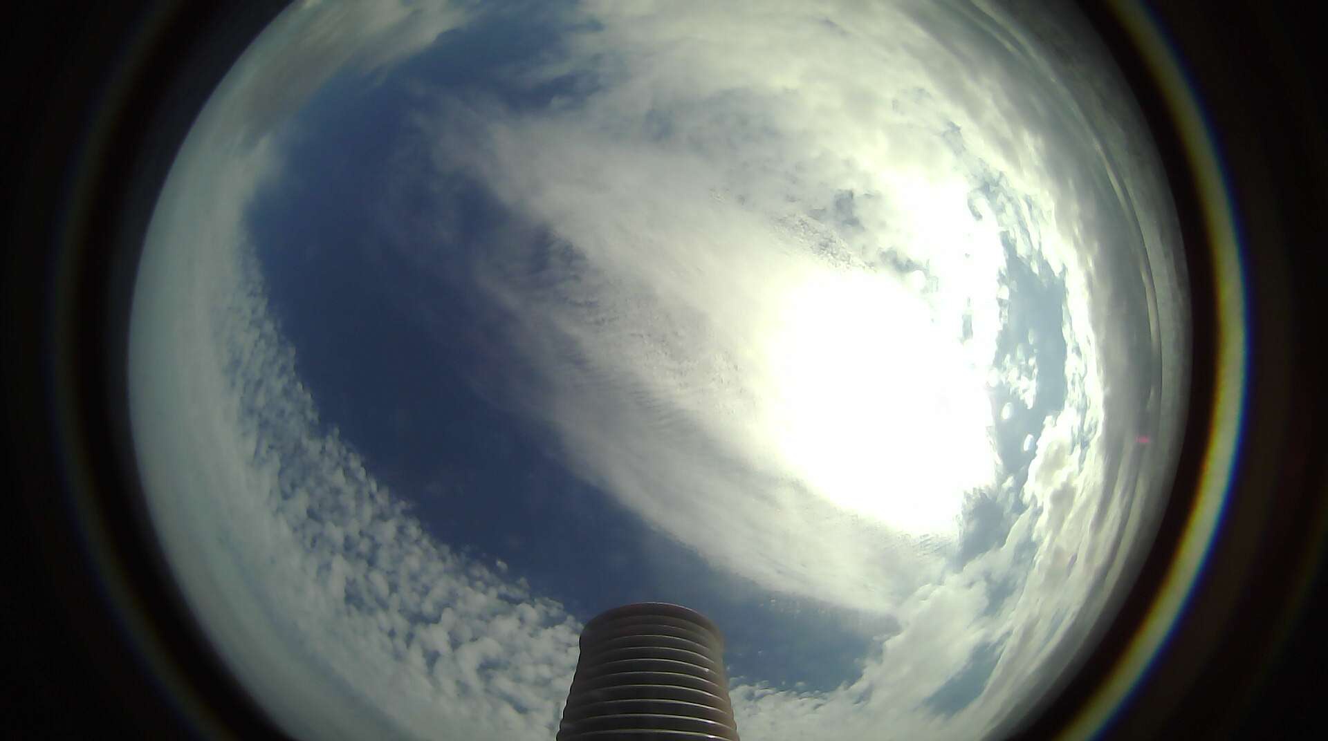
2019-05-01T22:54:45.000Z